Cartographic Conference in Berlin got a lot of acknowledgement
Detailed image sections of parts of the Antarctica on almost 500 years old maps and globes reveal the impossible: They show the basic shape of Antarctica and even in detail the Ross Bay including various islands in the bay.
Now, we are able to bring back the lost ancient wisdom about the earth by generating of highly accurate, rigid 3D models with draped image texture based on hyper-stereoscopic photography. These produced geo-data are too accurately presented to be a coincident in the map projections in the early 16th century!
This eventually leads to the quest: Who did when, why and how explore this frozen continent at the remotest end of our world?The team from the TU Dresden, the ABORA Project and the company Messbildstelle Dresden is going to answer these important questions.
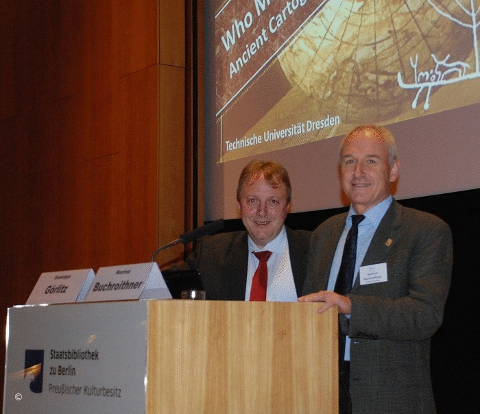
Photo: Experts of different fields of science were astonished about the main lecture presented by Global Topspeaker Dr. Dominique Görlitz (left) and Prof. Dr. Manfred Buchroithner at the DCH 2015 in Berlin.